Now Reading: Why does the Lipulekh-Kalapani dispute continue? A simple explanation
- 01
Why does the Lipulekh-Kalapani dispute continue? A simple explanation
Why does the Lipulekh-Kalapani dispute continue? A simple explanation

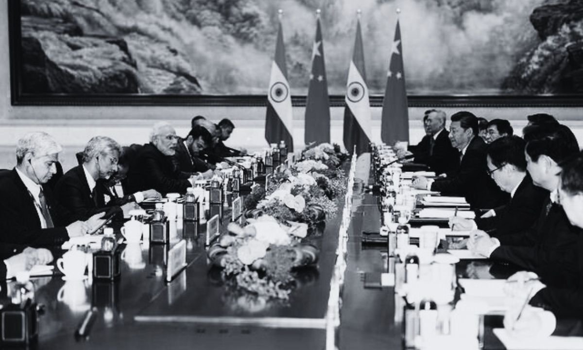
India and China recently agreed to do trade through Lipulekh Pass, but they did not even inform Nepal. This has once again hurt Nepal, because Lipulekh lies on Nepali land. For decades, both neighbors have ignored Nepal’s concerns and used this area for their own benefit.
Where are Kalapani, Lipulekh, and Limpiyadhura?
In 1816, the Sugauli Treaty between Nepal and the British set the Kali River as the western border of Nepal. The source of the Kali River is Limpiyadhura. That means land east of the river—including Kalapani and Lipulekh—belongs to Nepal.
But since 1962, Indian soldiers have been stationed in Kalapani, and Nepal has lost access to around 370 square kilometers of land (about the size of Lalitpur district). India has placed this land under Uttarakhand’s Pithoragarh district.
Kalapani is at 3,600 meters, Lipulekh at 5,115 meters, and Limpiyadhura at 5,500 meters above sea level. Historically, Nepali traders and pilgrims traveled through this route to Tibet and Mount Kailash. Today, however, only Indian traders and pilgrims are allowed to use it, while Nepalis are blocked.
Why is this area important?
The Kalapani valley is close to the India-China border. From there, India can easily monitor Chinese activities. That is why India wants to keep control of this land. China also sees benefit because Lipulekh gives it easier trade access to India’s market. Both countries are using this route for their own strategic and economic interests, ignoring Nepal.
How did the dispute start?
- In 1962, during the India-China war, Indian soldiers moved into Kalapani and never left.
- India argues that a small river near Kalapani (Lipukhola) is the real Kali River. Using this claim, it says the land to the east is India’s. But old maps from 1827, 1856, and 1879 clearly show Limpiyadhura as the source of the Kali.
- Nepal has official records, maps, and even old census documents proving the land belongs to Nepal.
Why didn’t Nepal protest strongly earlier?
At that time, King Mahendra did not raise the issue because India and China were at war, and Nepal feared being seen as taking sides. Later governments also remained quiet or weak, which allowed India to strengthen its presence.
In 2019, India published a new map showing Kalapani and Lipulekh inside its border. Then in 2020, India built a road to Lipulekh, sparking protests in Nepal. In response, Nepal released a new official map including Kalapani, Lipulekh, and Limpiyadhura, and even amended the Constitution to recognize it.
Why does the problem continue?
Although Nepal has proof, India has refused to hold talks on this issue. China, on the other hand, agreed with India to use Lipulekh for trade and pilgrimages, without consulting Nepal. This has made the dispute worse.
What should Nepal do?
Experts say Nepal must strongly present its historical and legal evidence to both India and China. The 1816 Sugauli Treaty already proves this land is Nepal’s. Maps, government records, and even international law support Nepal’s claim.
Diplomatic talks are the only way forward, but Nepal must be firm. Without that, both neighbors will keep using Nepali land for their own interests.


